Sell or Auction Your D-Day Operation Bigot Utah Beach South Map for up to Nearly $5,000 or More at Nate D. Sanders Auctions
FREE APPRAISAL. To buy, auction, sell or consign your D-Day Operation Bigot Utah Beach South Map that is for sale, please email your description and photos to [email protected] of Nate D. Sanders Auctions (http://www.NateDSanders.com).
Sell Your D-Day Operation Bigot Utah Beach South Map
Below is a recent realized price for a D-Day Operation Bigot Utah Beach South Map. We at Nate D. Sanders Auctions can obtain up to this amount or more for you:
D-Day Operation Bigot Utah Beach South Map. Sold for nearly $5,000.
Here are some items that our auction house, Nate D. Sanders (http://www.NateDSanders.com) has sold:
Franklin D. Roosevelt D-Day Prayer Broadside — One of a Select Few Given to Roosevelt’s Staff at Christmas in 1944
Beautiful presentation broadside of the “D-Day Prayer”, one of the few copies gifted by President Franklin D. Roosevelt to his staff at Christmas 1944. This particular copy was given to one of his Secret Service agents (and then by descent to consignor), and comes with a 1944 Christmas card from the Roosevelts. Lithograph features gilt and colored embellishments, transcribing the famous prayer that President Roosevelt delivered to the nation via radio on 6 June 1944 after the successful D-Day invasion, reading in part, “Last night, when I spoke with you about the fall of Rome, I knew at that moment that troops of the United States and our Allies were crossing the Channel in another and greater operation. It has come to pass with success thus far. / And so, in this poignant hour, I ask you to join with me in prayer…Success may not come with rushing speed, but we shall return again and again; and we know that by Thy grace, and by the righteousness of our cause, our sons will triumph…Christmas-1944-from / F.D.R.” Lithograph measures 14.75″ x 21.75″, framed with the Roosevelt Christmas card, and a ribbon at bottom right, to a size of 15.5″ x 21.75″. Not examined out of frame, but appears in very good to near fine condition with only light toning. Sold for $3,800.

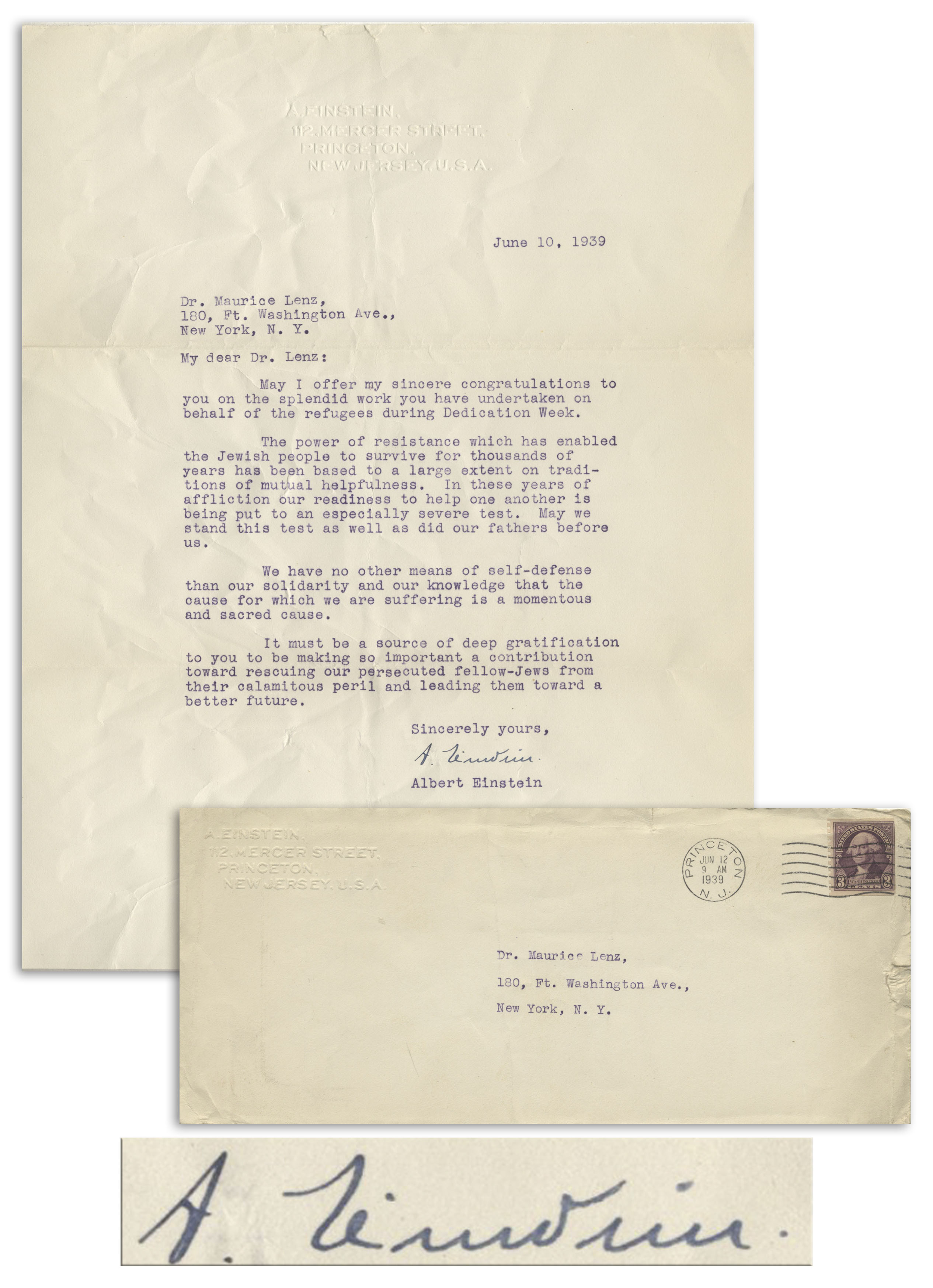
Albert Einstein typed letter signed during World War II, with moving content regarding helping Jewish refugees. Dated 10 June 1939 on his personal embossed letterhead from Princeton, Einstein writes to Dr. Maurice Lenz who worked on ”behalf of the refugees during Dedication Week.” Einstein continues, ”…The power of resistance which has enabled the Jewish people to survive for thousands of years has been based to a large extent on traditions of mutual helpfulness. In these years of affliction our readiness to help one another is being put to an especially severe test. May we stand this test as well as did our fathers before us.
We have no other means of self-defense than our solidarity and our knowledge that the cause for which we are suffering is a momentous and sacred cause.
It must be a source of deep gratification to you to be making so important a contribution toward rescuing our persecuted fellow-Jews from their calamitous peril and leading them toward a better future…[signed] A. Einstein”.
Single page letter measures 8.5” x 11”. Folds and light creasing, otherwise near fine condition. Accompanied by Einstein’s embossed mailing envelope, postmarked Princeton on 12 June 1939. Sold for $134,344.
Consign your D-Day Operation Bigot Utah Beach South Map at Nate D. Sanders Auctions. Send a description and images of your D-Day Operation Bigot Utah Beach South Map to us at [email protected].
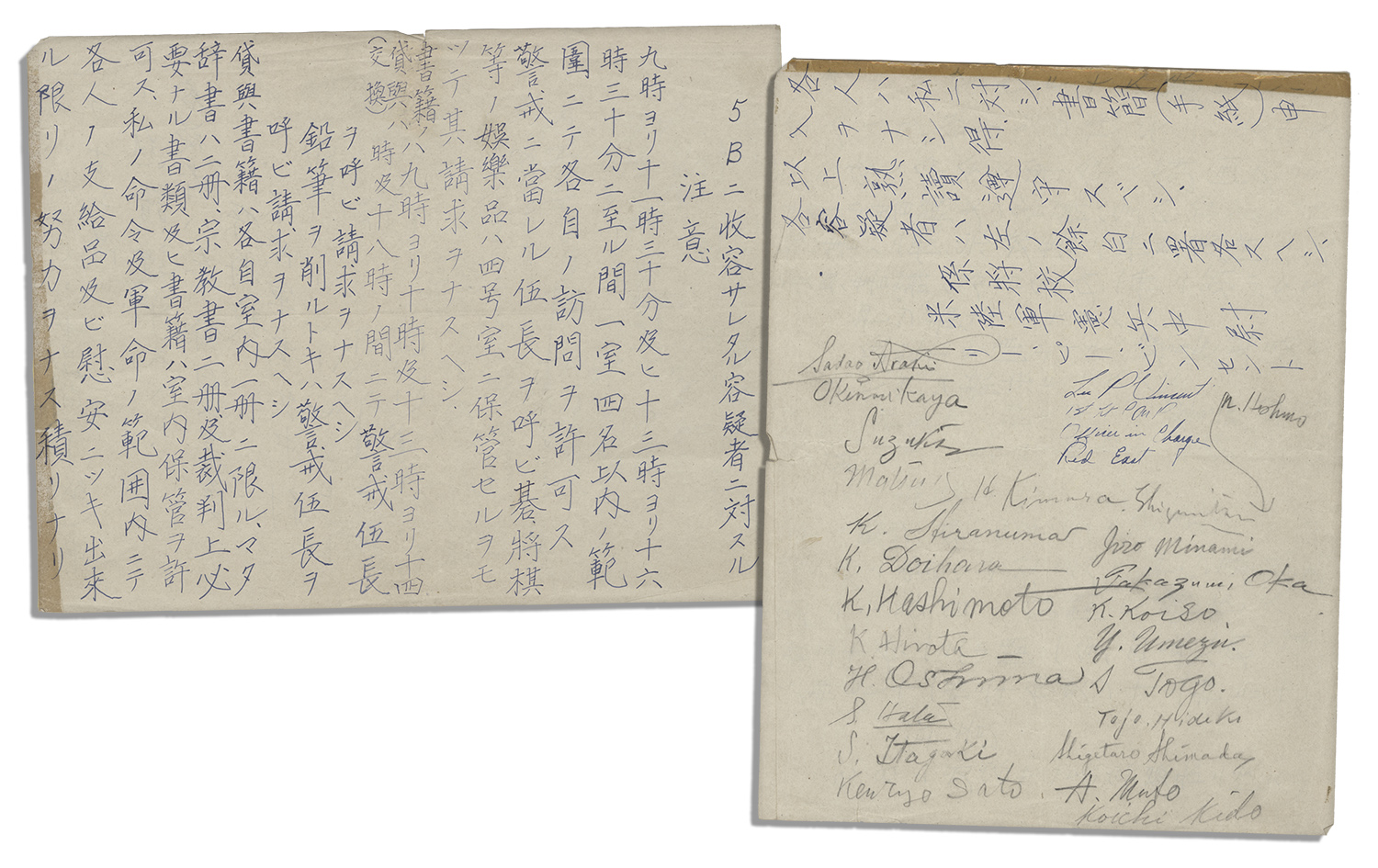
Manuscript signed by 23 accused WWII war criminals while imprisoned at Sugamo Prison in Toyko. Signatures include the infamous 7 men ultimately convicted of war crimes and executed, including Japanese prime minister and IJA General “Tojo, Hideki”. Also signed by Instrument of Surrender signers Shigemitsu and Umezu, as well as Araki, Kaya, Suzuki, Matsui, Hiranuma, Doihara, Hashimoto, Hirota, Oshima, Hata, Itagaki, Sato, Kimura, Hoshino, Minami, Oka, Koiso, Shimada and Muto. Document, handwritten in Japanese, outlines the terms of their incarceration, translating in part, “…Visitation is allowed within the limit of four people to each detainee in the same one room between 9:00 to 11:30, and 13:00 to 16:30…For book rentals (exchange), call a corporal…Within the limit of my order and the military order, it is my intention to make every effort for everyone’s issued supplies and comfort…[signed] Lee P. Vincent, Assigned Officer, US Army Military Police Lieutenant.” Runs 2pp. on a single sheet. Measures 8″ x 10.5″. Creasing and tape along the top edge, else near fine. Sold for $12,353.
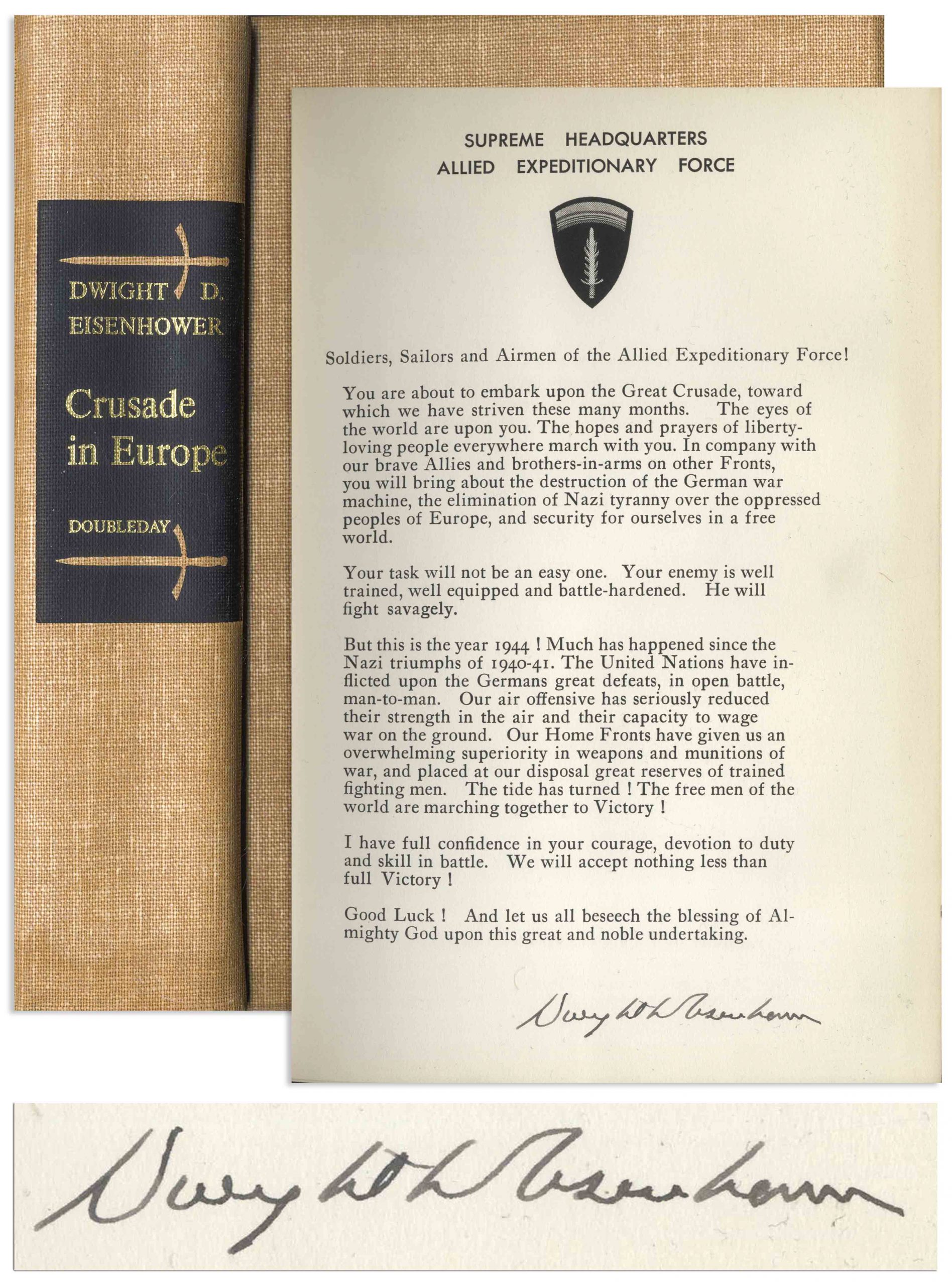
Dwight Eisenhower signed D-Day speech, contained within the first edition of ”Crusade in Europe”, Eisenhower’s account of the Allied victory in Europe. Garden City, NY: Doubleday, 1948, book is number 604 of the signed limited edition of 1426. Eisenhower signs ”Dwight D Eisenhower” to the bottom of the speech, which reads in part, ”Soldiers, Sailors and Airmen of the Allied Expeditionary Force!…Your task will not be an easy one. Your enemy is well trained, well equipped and battle-hardened. He will fight savagely. But this is the year 1944! Much has happened since the Nazi triumphs of 1940-41…” Bound in light brown cloth boards with maps to the endpapers, top edge gilt and other edges deckled. Photographs and illustrations throughout. Measures 6.75” x 9.75”. Small bookseller’s label to rear endpaper. Overall in exceptional, near fine condition with no significant flaws. An increasingly rare copy of this very desirable signed speech. Sold for $3,125.
Revolutionary War Map 1776
Revolutionary War map dated March 1776. “The Theatre of War in North America, With the Roads and a Table of the Distances…” Printed in London for R. Sayer and J. Bennett. Map depicts the area east of the Mississippi River from James Bay to Cape Canaveral, and locates provincial boundaries, towns, forts, roads, Indian villages, New England fishing waters, and the like. An inset is comprised of “Evan’s Polymetric Table of America,” which allows one to calculate the distance between most of the prominent towns. Text below the map reads, “A Compendious Account of the British Colonies in North America,” which devotes a paragraph of description to each of the North American colonies, including Florida, Canada, and the Province of Quebec. Issued separately by Sayer and Bennett, who also published “the American Military Pocket Atlas,” that year for the use of British officers. A notable map of the American Revolution, published the same year as the American Declaration of Independence. 20.75″ x 28.5″; 29.25″ x 37.5″ framed. Excellent condition. Sold for $6,000.

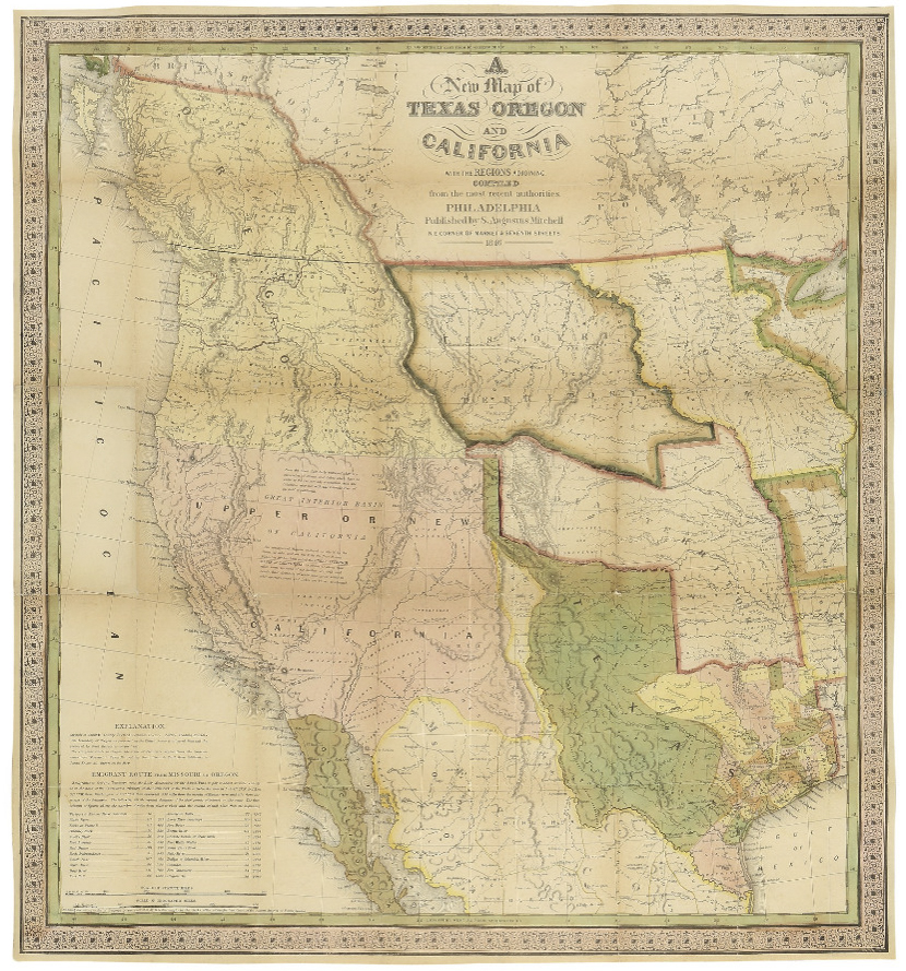
Map of Texas, Oregon and California From 1846
“A New Map of Texas Oregon and California with the Regions Adjoining. Compiled from the most recent authorities.” By cartographer Samuel Augustus Mitchell, published in 1846 as a pocket map, and considered the definitive map for settlers in the nation’s westward expansion during the Gold Rush. Philadelphia: Published by S. Augustus Mitchell, 1846. With contemporary hand-coloring, folding map by engraver H.N. Burroughs was Mitchell’s most important map, considered the defacto standard and thereby affecting subsequent maps of the area. It was the first to include recent explorations in the Great Basin, with boundary lines of Rio Grande to the south, and Oregon to the north at 54 degrees 40 minutes, above which are “British Possessions”. An inset to lower left entitled “Emigrant Route from Missouri to Oregon”, provides the distance between western cities and landmarks, undoubtedly aiding weary travelers. With decorative scrollwork along the margins, map measures 21″ x 22.5″ unfolded, nicely matted and framed to a size of 34.5″ x 41.5″. Some expert repair at fold separations and mild fading, overall in very good condition. Sold for $4,800.
Lotter New and Correct Map of North America 1784
Large four-sheet engraved map measuring nearly 4′ x 3.5′ showing North America in 1784, with sovereignty of the thirteen colonies belonging to the United States following the Treaty of Paris that concluded the Revolutionary War. Published in Ausburg, Germany by Mathew Albert Lotter and Georg Frederic Lotter, 1784. Map is titled at upper right, “A new and correct map of North America with the West India Islands. Divided according to the last Treaty of Peace, concluded at Paris the 20th of Jan. 1783. wherein are particularly distinguished the Thirteen Provinces wich [sic] compose the United States of North America”. A cartouche underneath shows tradesmen and workers on the banks of Bermuda, and two insets show Baffin and Hudson’s Bay beneath the Arctic, and land bordering the “Sea of California” partially described as “The Passage by Land to California”. Map measures 46.875″ x 41″. Professionally backed to linen and lightly mounted to board. Minute foxing and a few spots of repair. Overall very good to near fine condition given age including superior color contrast. With fascinating detail, map would anchor a room and serve as an excellent topic of ongoing reflection and discussion. Sold for $1,750.

FREE APPRAISAL. To appraise, auction, buy, consign or sell your D-Day Operation Bigot Utah Beach South Map that is for sale, please email your description and photos of your D-Day Operation Bigot Utah Beach South Map to [email protected] of Nate D. Sanders Auctions (http://www.NateDSanders.com).